Sunday, December 1, 2019

PEMAQUID POINT LIGHTHOUSE - PEMAQUID, MAINE


                               Pemaquid Point Lighthouse 2 days earlier from previous photographs, surrounded by fog


                                                             Early view before dwelling was painted white around 1875
                                                                            Photograph courtesy U.S. Coast Guard

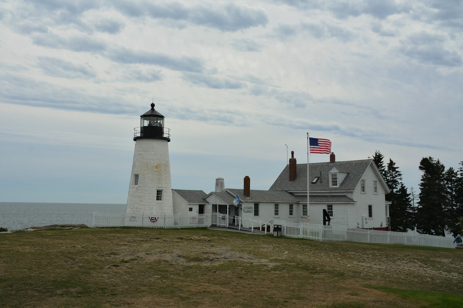
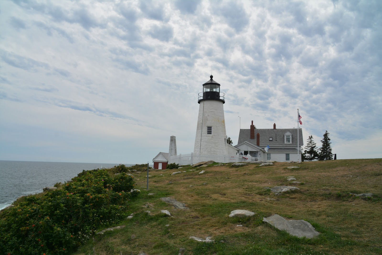
 Located at the southern end of the finger of land separating Johns Bay and Muscongus   Bay.
 GPS: Latitude: 43.83697, Longitude: -69.50606 

No comments:

Post a Comment